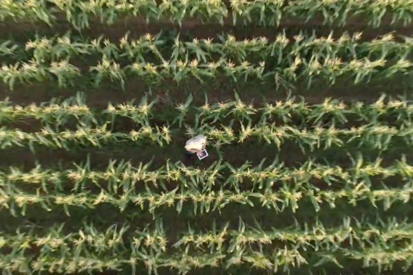
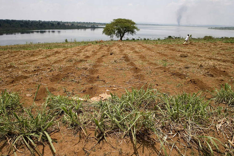
The Food and Agricultural Organization of the United Nations (FAO) has released a request for proposals to invite consortia to provide satellite data for agricultural land and water monitoring in near real time. The data will be made freely accessible by FAO and covers the whole African continent and the Arabian Peninsula.
A wide range of organizations can benefit from this data, including governments, farmers and food processors. Applications of the data relate to food security, agricultural practises and water management.
With this request for proposal, FAO shows that it follows the strategy of Waterwatch Cooperative, which has the ambition to provide easy accessible data worldwide through a global vegetation database.
Click here for more information.